Technical Reports Earthworks
This page lists technical reports of PIARC in the field of road earthworks. These publications are classified chronologically.
-
Road in Desert Areas
Drafted by the PIARC Technical Committee on Roads in Developing Regions, this report provides information on the construction and maintenance of roads in desert areas.
-
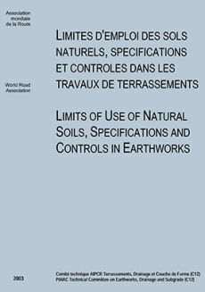
Limits of use of natural soils, specifications and controls in earthworks

During 2000-2003 C12 activity, it was decided to be interested in the limits of use of the soils in the earthworks through the various Member States of the committee and simultaneously to analyse the control methods developed to guarantee the good completion of the work. C12 has considered interesting the mutual knowledge of gathered experiences, although difference of national contexts does not permit easy, direct transposition of the progresses from one country to another. Nevertheless this [...]
-
International Symposium on Subdrainage in Roadway Pavements and Subgrades
Out of print As is common knowledge in the transportation community, proper functioning of roadways is largely dependent on adequate drainage, both at the surface and in the subsurface. The accumulation of excessive water under pavements typically results in a reduced bearing capacity, leading to distress and premature failure of pavements. Drainage-related problems usually manifest themselves as pavement rutting, cracking, and increased road roughness. The World Road Association (PIARC) [...]
-
Practical Guidelines for the Design and Construction of Road Embankments
The practical guidelines contained in this report have been developed from the results of a survey on the state of the art in the design and construction of road embankments. In March 1993 a questionnaire was circulated to collect information about the "rules of the art in the design and construction of road embankments" in use in each of the 24 countries represented on PIARC Committee C12 by a member or a correspondent.
-
Landslides - Techniques of Evaluating Hazard
This report discusses current techniques used to evaluate landslide hazard in three stages. Firstly, the landslide hazard of an area is evaluated by collecting existing data, field reconnaissance, etc. At several specified sites along a route, more detailed investigations are then conducted, such as geophysical exploration, borings and stability analyses. The results are used to evaluate the landslide hazard at the sites more precisely and to design works to prevent possible landslides. [...]